Precision, reliability, and innovation — from sky to report.
We operate with the vision of establishing ourselves as a leading company in the field of drone surveys. For this, we rely on accurate, timely, reliable and cost-effective land surveys which would surely meet the demands and expectations of each one of our clients.
To deliver world-class drone survey solutions that empower businesses with actionable aerial data, leveraging advanced technology and skilled pilots to ensure safety, accuracy, and client success across every project.
With the help of a technologically updated drone fleet and experienced drone pilots, Drishti Aerial Survey offers services like.
High-resolution aerial photography, 4K video capture for surveys and documentation.
Construction sites, solar plants, industrial assets – automated fault detection and progress monitoring.
Orthomosaics, digital elevation models, real-time 3D models and CAD-ready drawings.
Real-time surveillance over private properties, industrial sites, and perimeter security.
Accurate volume calculations for mines, stockpiles, and GCP-based georeferenced surveys.
Detailed soft & hard copy reports with analytics, insights, and actionable recommendations.
We make use of the most advanced software and latest drones to provide aerial images that are high-quality.
We adopt a client-centric approach while working towards exceeding client expectations and offering the desired results.
The drone pilots assigned by the company team are skilled and experts in the field.
Our services can be accessed at any location across the nation. Nationwide coverage.
The quality of our service is consistent – a great experience and support for your business projects.
We Client satisfaction is our major performance measure; we create long-term relationships through superior customer service.
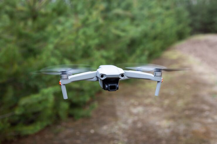
Equipped with industry-leading UAVs, sensors, and software for unmatched aerial data capture.
High-res RGB, thermal imaging for solar & industrial inspection.
Precision point clouds, elevation models, and volumetric analysis.
Centimeter-level accuracy for cadastral and engineering surveys.
Automated feature extraction, change detection, and NDVI mapping.
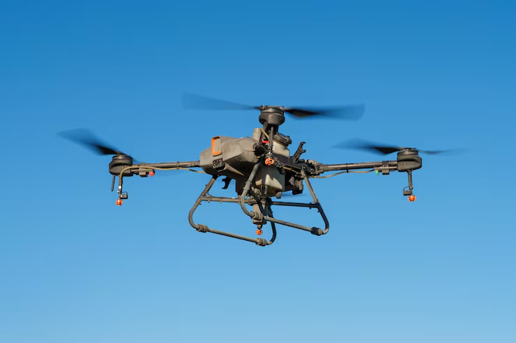
Experienced drone pilots, surveyors, and technologists driving excellence.
Chief Pilot & Operations Head
Ex-IAF drone specialist, 12+ years in UAV operations, DGCA certified examiner.
Director – Geospatial & Analytics
PhD in Remote Sensing, expert in LiDAR, GIS, and AI-driven mapping solutions.
Head – Business Development
Strategic partnerships, client relations, and nationwide project delivery.